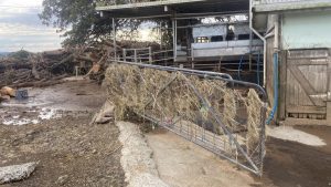
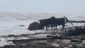
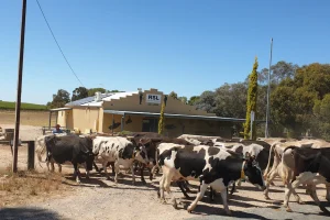
The spill was forewarned with public warnings so farmers downstream of the weir could move pumps, livestock and other assets to higher ground on Tuesday and Wednesday.
The Macalister River downstream of Lake Glenmaggie peaked at 6.96 metres around 1.30am on Thursday.
Southern Rural Water advised flooding will remain above the major flood level of 5.3m throughout the day due to planned releases from Lake Glenmaggie.
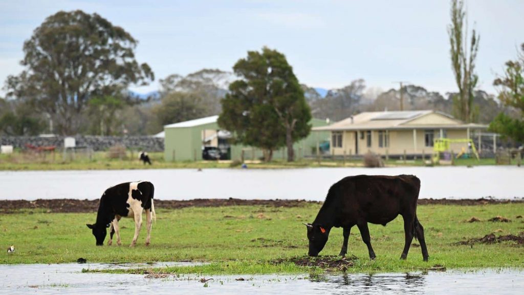
Within the MID, farms and residences will be affected in Tinamba, Tinamba West, Newry, Mewburn Park, Bellbird Corner, Riverslea and Maffra.
A moderate flood warning was issued on Thursday for the Thomson River from Cowwarr Weir to Wandocka.
The Thomson River at Wandocka was at 6.5m and rising at midday.
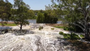
Flood warnings were issued along the LaTrobe River, to Traralgon Creek.
The LaTrobe River was creating minor flooding in the Willow Grove area, and moderate flooding around Rosedale, where the main stream was between 3.89 and four metres by late Thursday morning.
The Latrobe River at Thoms Bridge is currently at 5.86 metres and steady, above the historical moderate flood level.
A moderate flood warning was issued for the Tanjil River, also in the Latrobe catchment.
A riverine flood warning was issued for the Mitchell River downstream of Glenaladale on Thursday morning.
The Mitchell River was at 5.86m and rising, expecting to peak close to 6.20m at Glenaladale on Thursday.
The August 2011 flood peak, for comparison, was 5.94m.
Last weekend and on Tuesday this week, the residents in this area were evacuating for bushfires in the Mitchell River National Park.