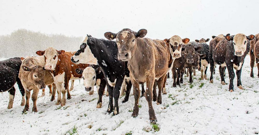
A spring storm, which has brought snow to parts of the South Island on Sunday night, has been patchy – but the worst winter blast of the year is to come.
WeatherWatch forecaster Philip Duncan says much of Otago and Southland will be covered by between 5cm and 20cm of snow on Tuesday. Photo: Natasha Chadwick

WeatherWatch forecaster Philip Duncan says the southern coast of Southland woke to snow on Monday morning, but warns by tomorrow much of Otago and Southland will be covered by between 5cm and 20cm down to sea level and up to 50cm on the hill country.

“All of Tuesday is going to be wintry, the toughest 24 hours of the year for Southland,” he said.

Duncan says the Otago and Canterbury high country, Banks Peninsula and the Kaikoura mountains down to 200m above sea level will also receive heavy snow.

“This is definitely quite a big event,” he said.

Duncan says the cold front will be short-lived with temperatures expected to start recovering from Thursday, and expected to be above-average for this time of the year by the weekend.

Ross Paterson from Waikaka in Eastern Southland says there was not any snow on his farm when he woke, but by mid-morning it was blanketed with about 20cm.

Farmers had time to ensure stock had access to shelter, but the absence of wind was a blessing.

“We’re pretty well through lambing, so we’re not too stressed about it,” he said.

However, the snow coincides with the start of lambing on higher altitude farms.

Gore farmer and Southland Federated Farmers vice president Bernadette Hunt says snow started falling on her farm about mid-morning, with conditions worsening as the front brought snow to the whole province.

She says lambing has finished on most low-lying farms other than hoggets.

Ben Dooley, who farms at Mimihau near Wyndham, says snow that fell on his farm on Sunday night melted reasonably quickly but was replaced by fresh snow during Monday.

Lambing was all but finished and while he had some deaths, numbers were not high.

You may be interested in

Related
notes

BUY & SELL DAIRY PRODUCTOS IN

Featured

Join to

Most Read

SUBSCRIBE TO OUR NEWSLETTER